If you engage in hiking, mountain biking or some other outdoor activities, it is great to have the measurement of your altitude. In the past, to get this data required you to have special devices which could cost a lot. But with the advancement in technology, you don’t have to spend much as your smartphone can calculate your altitude with the help of Altitude Apps. Having any of these apps on your phone will help you know how far you are from the sea level and help you have fun. Check out the best altimeter apps for Android…
Page Contents:
Best Altimeter Apps for Android
-
My Altitude
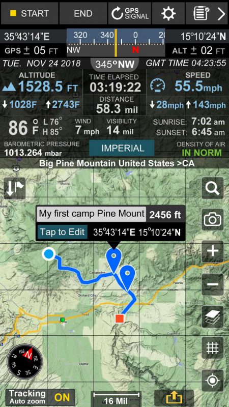
With My Altitude, you can calculate your Altitude – the height from the sea level, location, barometric pressure, and water boiling point. The app makes use of your phone’s sensors and GPS to make these measurements. You can get these data even without advanced sensors. You do not require an internet connection for Altimeter to provide measurements. It also gives you the ability to take pictures within the app and share on social media with the parameters of your height included.
2. Simple Altimeter – Elevation, Barometer, Altitude
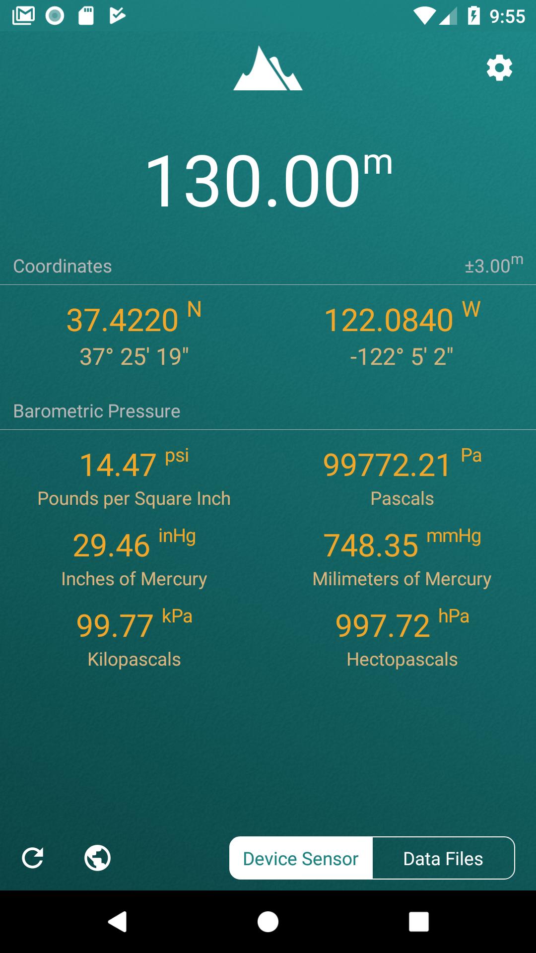
The Simple Altimeter app lets you have details of your particular location. Get parameters of the pressure, altitude, latitude, and longitude of the place. The altimeter app lets you monitor altitude relative to sea level. You get to know the changes that occur in landscapes and mountains as the time of the day changes. It also allows you to monitor the difference in altitude between two different points. This app is useful for exploration, hiking, going to the mountains and you can have fun while using it.
Download
3. Accurate Altimeter
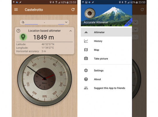
AR Labs developed this one and it gives you accurate measurements of your altitude. The app determines your exact location and then gives you your altitude based on the location data. This is to ensure accuracy. You can make the app do automatic measurements every 5 minutes or any other time limit you choose. With this, you watch as altitude changes as you move from place to place. For accuracy over time, the app will request that you do calibrations. You can use the app offline as it does not require the internet so if where you lack an internet connection, you can still fetch data.
4. Altimeter Ler
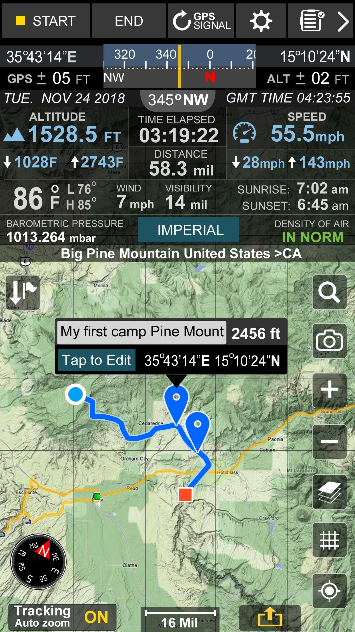
You’ll find this app useful is you’re a hiker, mountain biker but it’s also great to have it if you’re not into any of these. There’s a compass, tracker, and altimeter in it. You can get information about the weather in the app and it uses GPS to perform all measurements. The app boasts of real-time time orientation where you can change the magnetic North to the true one and vice versa. The app does more. It tracks your distance time, average speed, max speed, altitude, and others when you’re moving. Get details on the weather condition such as temperature, wind, sunsets, and sunrises all in the app.
5. My Elevation
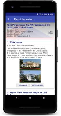
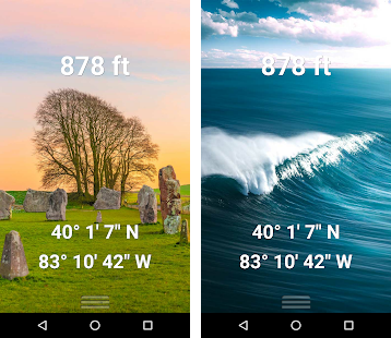
My Elevation is an altitude app that detects your location via a web connection. With this data, it will get to you your altitude. If you believe that an internet connection is more reliable than measurements from the phone’s hardware, then the app is for you. You get the surface elevation above sea level and other parameters in this app. The app does not work in calculating your elevation when you’re high above in ground like in an aircraft. The app relies heavily on an internet connection so ensure it is on when you want data about your elevation. The Follow Me feature included in the app tracks your location details and display them as you move from place to place. The app also gives you weather information about a location and it will fetch further details from Wikipedia.

