Map apps are great tools to help you navigate either when you are walking, driving or during sports. With them, you will have some guarantee that you won’t lose your way. They are wonderful but what of if you get to a location where there is no internet connection or you lose your way in a dead zone? Offline GPS map apps to the rescue!. These apps don’t require a data connection and you can find your way with them. Check out the best offline map apps here…
Best Offline Map Apps for Android Navigation
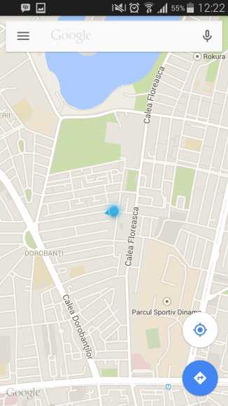
1. Google Maps
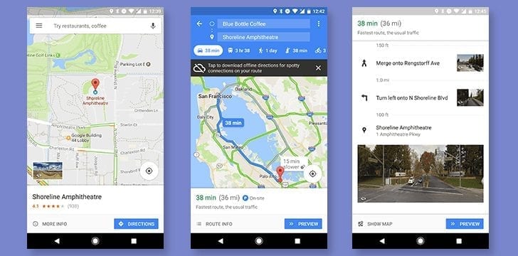
Google Map works as a tool for downloading and saving regional maps so you can access them in offline mode. Downloading the map involves you tapping on the More menu, located in the upper-left corner, and hitting Offline Maps. You can download a minimum of 2GB for the maps which is 200 x 120 miles when estimated. Google algorithms will suggest maps for you to download and they rely on your home and frequent locations.
2. Sygic GPS Navigation & Offline Maps
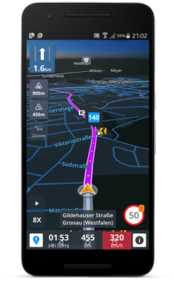
With intuitive user interface and advanced safety functionalities, you can trust this Sygic app to lead you by the way. The app gets data from mapping providers like TomTom. It is a well-known app useful in providing 3D map view to offline users. The offline part of the app boasts of rich information such as upcoming speed limit changes and Dynamic Lane Assistant to help you stay on the right lane.
3. BackCountry Navigator
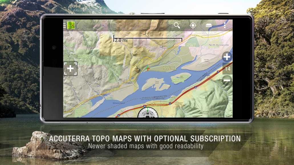
A great navigation app for hikers, BackCountry Navigator is an app that offers you offline topographical maps. Although fairly expensive, you can get offline maps especially in places where data connection is limited. The app lets you do fun things amongst which are adding favorite spots and markers on the map, viewing different types of trails, and more.
4. MapFactor GPS Navigation Maps
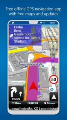
Launching this app prompts you to download maps for offline use. Maps data are gotten from service provider, OpenStreetMap. Due to the fact that there is no online map function there, you will have to download them offline. The app features individual maps you can view, which includes 56 in Europe and 53 in the Americas. You can also find maps for speed cameras right inside the app.
5. Maps.me
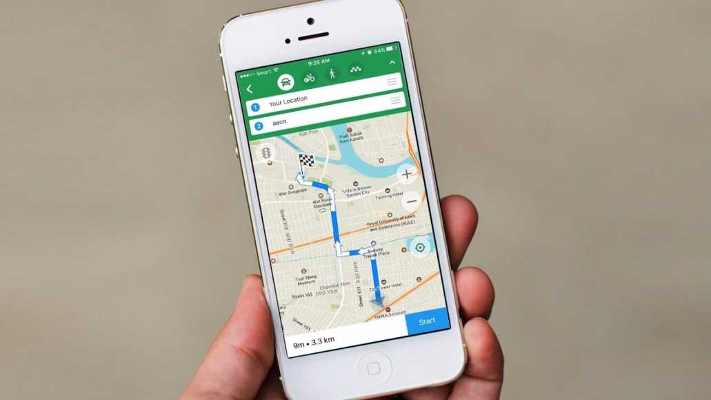
This is free to use app that is also powered by OpenStreetMap. It does not have any in-app purchases and there are no limits to the download size. Though you may see some ads pop up, it maintains optimized functions and interface. The online version of the map tool supports driving, walking, public transit, and cycling modes.